Reading the City’s Hidden Chalk

Today we explore interpreting utility survey marks and color codes as the city’s ephemeral notation, translating those quick bursts of fluorescent letters, arrows, and flags into stories about electricity, water, fiber, and gas. Think of sidewalks and curbs as staff lines, where crews compose urgent messages about safety, schedules, and risk. We will learn how these markings appear, why they vanish, and how to respectfully read them without interfering, turning every block into a legible, living archive of infrastructure.

Field Guide to the Painted Alphabet Underfoot

Before you can hear the music in the street, you need a reliable ear for color and form. In many North American cities, the APWA code assigns red for electric, orange for communications, yellow for gas or oil, blue for potable water, green for sewer and drain, purple for reclaimed water, pink for temporary survey, and white for proposed excavation. Local norms can vary, but this palette forms a baseline. Learning it helps you decode risks, timelines, and the choreography of upcoming work.

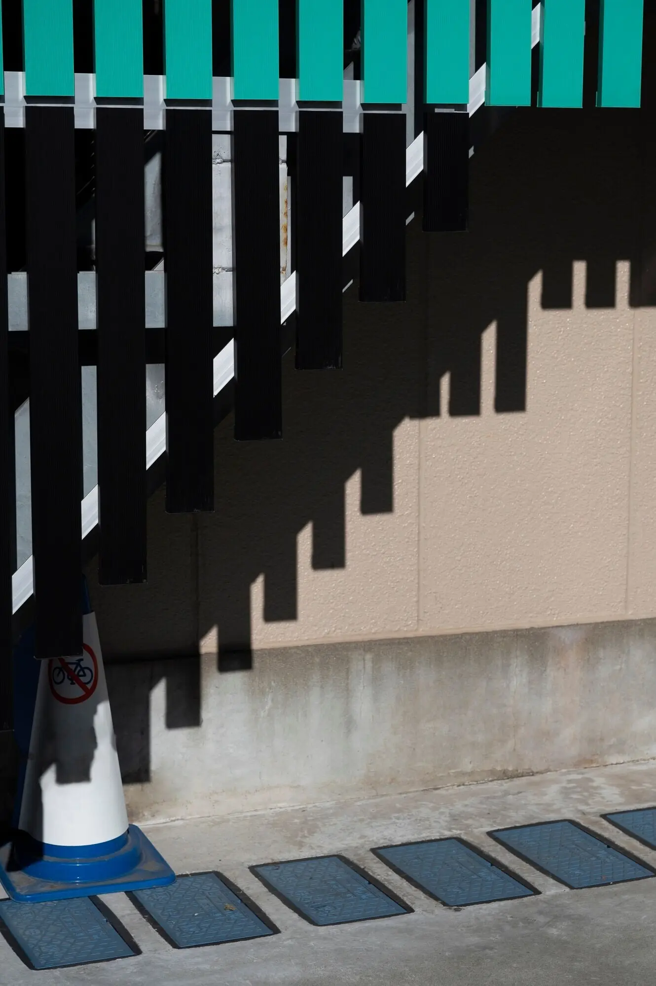
Stories Written in Fluorescent Chalk

Fresh paint glows like a proclamation, then fades with footsteps, sunlight, and rain. The city’s ground notes are deliberately transient, meant to guide an operation rather than become permanent signage. That transience is moving; it reveals exactly how quickly conditions change. A line might indicate a repair planned for next week, then washed out by a storm before crews arrive. Reading these traces teaches patience and curiosity. Each sidewalk becomes an ephemeral archive, updating itself with every crew visit and weather shift.

Safety, Law, and Neighborly Courtesy

In the United States, dialing 811 initiates utility locating so excavations avoid buried lines. Many countries and municipalities maintain similar services. Calling early provides time for coordination among multiple asset owners. Markings then appear to guide safe excavation boundaries, offsets, and depths. Skipping the call risks rupturing gas lines, severing communications, or electrifying equipment. Lives and livelihoods depend on patient process. Make the call, wait for confirmation, and read the marks as an instruction set created to protect everyone working nearby.
Documenting transient marks can support learning and public understanding, but ethics must guide each step. Photograph without standing over crews or blocking paths. Never redraw, augment, or highlight paint for your records. Clearly timestamp images, note intersections, and avoid posting personal addresses. If sharing online, provide context and disclaimers, emphasizing that your interpretations are educational, not operational guidance. Consider emailing city communications teams when confused; you may receive clarifications. Curiosity blossoms when it coexists with respect for professional practice and public safety.
Posting a simple explainer at a neighborhood board or online forum can reduce confusion. Translate colors into plain language, list non-emergency city contacts, and encourage timely 811 requests. Invite stories about past repairs so residents connect stripes on sidewalks to water pressure improvements or faster internet service. Always warn against touching flags, lifting cones, or relying on amateur interpretations for construction decisions. When neighbors understand that paint equals caution, friction with crews decreases, projects proceed smoothly, and streetscape changes feel less mysterious and alarming.

From Construction Schedule to Street Rhythm

Markings are time signatures for public works. White lines often trace proposed excavation; pink may show survey control; other colors announce existing utilities. The sequence hints at tomorrow’s tasks—saw cuts, trenching, boring, or restoration. Listen for backup beeps, watch for utility trucks staged at corners, and anticipate detours. A clean job leaves restoration notes: asphalt patches, compacted trench lines, and subtle paint remnants. Reading these rhythms sharpens your sense of urban logistics, reminding you that maintenance is the heartbeat of reliable services.

Creative Practice: Urban Notation as Public Score

Interpreting utility marks can inspire careful creative practice without stealing attention from safety or operations. Sketchbooks, field recordings, and layered maps can translate colors and shapes into drawings, timelines, or musical motifs. The key is humility: never confuse interpretation with instruction. A creative lens should amplify public understanding, not distract crews or glamorize hazards. Consider using your work to thank locators and laborers, highlighting skill and precision behind every line. Art becomes stewardship when it honors the people who make the city function.

Sketching Walks and Field Notebooks

Carry a small notebook, not chalk. Sketch intersections with gentle lines, noting color placements, arrows, and abbreviations. Add time, weather, and nearby assets like pedestals, hydrants, and manholes. Later, develop spreads that compare similar corners on different days, revealing recurrence and change. This practice sharpens observation while keeping the street untouched. Share pages with neighbors to demystify markings. When sketches foreground care and precision, they mirror the craft that crews bring daily, turning your walk into an attentive collaboration instead of performance.

Data, GPS, and Layered Maps

For the technologically curious, geotag photographs and record simple GPS traces, then layer them on open maps for personal study. Use clear legends, link to official color guides, and avoid speculating on sensitive locations. Keep datasets private unless you have permission and understand implications. The goal is comprehension, not exposure. Over time, your layers reveal circulation patterns of maintenance, common conflict points, and seasonal rhythms. Treat every visualization as a tool for empathy toward field work rather than a spectacle chasing clever aesthetics.

Your Turn: Observe, Record, Share Responsibly

You are ready to read the street kindly and attentively. Begin with brief walks, learn the color code, and compare notes across weeks. Introduce friends to the practice, emphasizing respect for crews and legal processes. Subscribe to updates, add comments about what you notice, and ask careful questions. When you encounter confusing marks, seek official explanations before posting interpretations. Let curiosity be patient and civic-minded. Together we can translate these fleeting signs into understanding and gratitude for the systems that keep neighborhoods alive.

A Simple Starter Walk

Pick a short loop with varied surfaces: concrete sidewalk, asphalt patch, utility poles, hydrants, and a manhole or two. Note colors without touching flags or cones. Photograph from a distance, capturing context rather than tight crops. Jot down abbreviations and count how many appear per block. Return at a different hour and after rain. Compare changes. You will begin to sense sequencing, priority, and urgency. Most importantly, you will practice reading without interfering, learning to observe in a way that supports everyone’s safety.

Posting Without Confusing Crews

If you share images, include a clear disclaimer that your notes are educational reflections, not operational guidance. Avoid guessing at depths or precise alignments. Do not tag individual workers without permission. Add links to official locate services and color guides. When in doubt, blur house numbers and license plates. Invite corrections from professionals, and thank them publicly when they help. Small choices like these keep attention on safety while fostering a community that treats infrastructure knowledge as shared care rather than viral spectacle.

Sending Tips, Photos, and Local Terms

We welcome your observations and regional vocabulary. Some cities use different abbreviations or color nuances, and your experience enriches collective understanding. Submit photographs with intersections, time, and weather. Share stories about solved mysteries: a recurring pink dot that turned out to be control for curb resets, or an orange lattice marking a fiber splice point. Your tips help us compare practices across regions, celebrate diligent crews, and refine guides that translate fleeting marks into insights about resilience, maintenance, and everyday urban reliability.

Vazekipalefanuvi
Privacy Overview

This website uses cookies so that we can provide you with the best user experience possible. Cookie information is stored in your browser and performs functions such as recognising you when you return to our website and helping our team to understand which sections of the website you find most interesting and useful.